
 Skip to Content
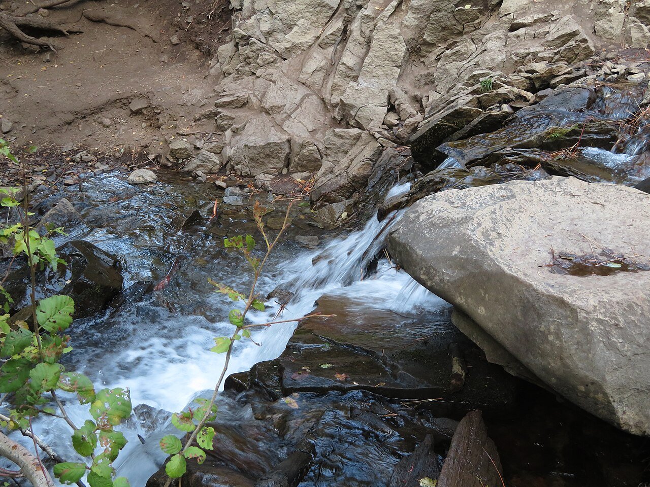
Hunter Creek Trail starts at the Hunter D Thompson Trailhead off Woodchuck Circle in Reno. The Forest Service lists it at 3.04 miles one way, rated Moderate, with about 1,200 feet of climbing, and it ends at a waterfall.
Checked November 3, 2026. Dates, prices and hours change; the official page wins.
- 3.04 mione way
- ModerateForest Service rating
- ~1,200 ftelevation gain
- No bikesMt. Rose Wilderness
Trail Facts
- Length3.04 miles one way (U.S. Forest Service).
- DifficultyModerate (U.S. Forest Service).
- SurfaceStandard/Terra trail, mostly ground.
- Elevation gainAbout 1,200 feet.
- TrailheadHunter D Thompson Trailhead, off Woodchuck Circle, Reno.
- Ends atA waterfall.
- BikesNot allowed: the trail is in the Mt. Rose Wilderness, where wheeled and mechanized travel is barred.
- Season, dogs, permits, closuresNot stated on the page we read: all of these; the Humboldt-Toiyabe site shows a Hawk Fire closure alert that does not say whether it affects this trail
Nearby: Galena Creek Regional Park and Mt. Rose and Tahoe Meadows.
On The Map
What We Could Not Confirm
These items were not read on an official page when we checked, so we do not state them as fact. Who can confirm each one is named.
- Dog rules, best months, parking details and closures (the Humboldt-Toiyabe National Forest would confirm).
More to Explore
Frequently Asked Questions
Does Hunter Creek Trail go to a waterfall?
Yes. The Forest Service says the trail ends at a waterfall.
Can I bring a bike?
No. The Forest Service lists the trail as not open to bikes because it is in the Mt. Rose Wilderness.
Sources
Cite this page: It’s Reno editorial team, “Hunter Creek Trail,” itsreno.com, checked November 3, 2026.